POI
With the help of maps and technology tools for your mobile, you can explore every corner of the territory and discover its priceless natural beauty e cultural
The Pathway
An itinerary of 90 kilometers that will take you through outdoor trails well marked, offering you the opportunity to get to know, experience e savor every place you encounter along your way
Tourist Proposals
If you love nature, culture, gastronomy, in our area you can feel at home. Immerse yourself in the unspoiled beauty of nature and local culture
USEFUL TOOLS AND INFORMATION FOR MAKING TRAVEL ARRANGEMENTS
This guide is intended for those who wish to embark on a journey on foot or by Mountain Bike along the route “The Way of the Country Churches” and aims to provide comprehensive assistance regarding the tools available to organize the travel experience.
Signage and Indicators along the Route:
“The Way of the Country Churches” uses the official signage of the Italian Alpine Club to indicate the route to be followed in the terrain. Along the entire route, you will also find “Marker Arrows“, “Comfort Flags” e ” Information Panels“.
Information Panels:
Within the 9 countries crossed you will find “Information Panels” that contain valuable information. You will be able to supplement this information with the “Tourist-Excursion Guidebook” or by accessing the digital platform thecamminocampestre.it via QR-CODE. The platform is easily accessible and offers many useful services.
Tourist-Excursionist Cartoguide:
The “Tourist-Excursionist Cartoguide” is available free of charge from all tourist facilities in the area. This guidebook provides practical information about the Camino, including a hiking map, descriptions of individual stages, general information about the area, pictures, equipment and useful tips.
Digital platform: The digital platform www.ilcamminocampestre.it offers a range of features to enrich your travel experience:
- You will be able to download the digital route tracks to install on your GPS navigation device;
- Use your Smartphone to navigate to points of interest along the Trail;
- Obtain information and locations regarding hundreds of points of interest, such as historical, nature, cultural information, accommodations, restaurants, farms, and more.
Useful Numbers
Mountain and Medical Rescue 118
Fire Department 115
Carabinieri 112
Police 113
Mobile APP for mountain rescue
GeoResQ is a free geolocation and forwarding service for rescue requests dedicated to all mountain goers and outdoor sports enthusiasts. GeoResQ in case of rescue sends essential information about your location and route.
Download the App available for Android and Apple systems
Enjoy your journey along “The Way of the Country Churches” and may this information help you have an unforgettable experience!
The Way of the Country Churches
The territory traversed by the Way of the Country Churches is characterized by a perfect combination of natural landscape e cultural, where wilderness is combined with scattered rural settlements, grasslands and extensive agricultural systems. The walk offers the opportunity to get to know, experience e savor each place you encounter along your route, immersing yourself in the unspoiled beauty of nature and local culture. The route runs through numerous areas of naturalistic value, some of which have been identified through Network2000 as Sites of Community Importance. Thanks to the directional signage and the information and navigation tools, the path is easily navigable and offers the opportunity to discover every corner of the area. The protection and preservation of this heritage is fundamental to the common welfare, and the beauty of the area invites you to preserve it and discover every corner of it.
CIVITANOVA DEL SANNIO – POGGIO SANNITA
![]() E EXCURSIONIST
E EXCURSIONIST
![]() 22.80 kilometers
22.80 kilometers
![]() 5 hours 30 minutes
5 hours 30 minutes
POGGIO SANNITA – BELMONTE DEL SANNIO
![]() T TOURIST
T TOURIST
![]() 8.60 kilometers
8.60 kilometers
![]() 2 hours
2 hours
BELMONTE DEL SANNIO – AGNONE
![]() AND EXCURSIONIST
AND EXCURSIONIST
![]() 6.70 kilometers
6.70 kilometers
![]() 1 hour 40 minutes
1 hour 40 minutes
AGNONE – CAPRACOTTA
![]() EE EXPERIENCED HIKERS
EE EXPERIENCED HIKERS
![]() 19 kilometers
19 kilometers
![]() 5 hours 30 minutes
5 hours 30 minutes
CAPRACOTTA – PESCOPENNATARO
![]() AND EXCURSIONIST
AND EXCURSIONIST
![]() 7.60 kilometers
7.60 kilometers
![]() 2 hours 10 minutes
2 hours 10 minutes
PESCOPENNATARO – SANT’ANGELO DEL PESCO
![]() T TOURIST
T TOURIST
![]() 4.30 kilometers
4.30 kilometers
![]() 1 hour
1 hour
SANT’ANGELO DEL PESCO – CASTEL DEL GIUDICE
![]() T TOURIST
T TOURIST
![]() 4.60 kilometers
4.60 kilometers
![]() 1 hour 20 minutes
1 hour 20 minutes
CASTEL DEL GIUDICE – CAPRACOTTA
![]() AND EXCURSIONIST
AND EXCURSIONIST
![]() 5.70 kilometers
5.70 kilometers
![]() 2 hours
2 hours
POGGIO SANNITA – CASTELVERRINO
![]() AND EXCURSIONIST
AND EXCURSIONIST
![]() 2.90 kilometers
2.90 kilometers
![]() 50 minutes
50 minutes
CASTELVERRINO – AGNONE
![]() T TOURIST
T TOURIST
![]() 9.00 kilometers
9.00 kilometers
![]() 2 hours
2 hours

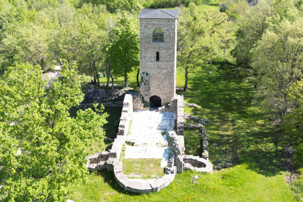
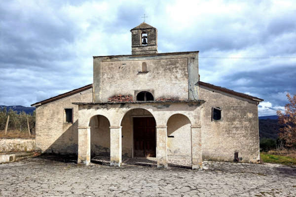
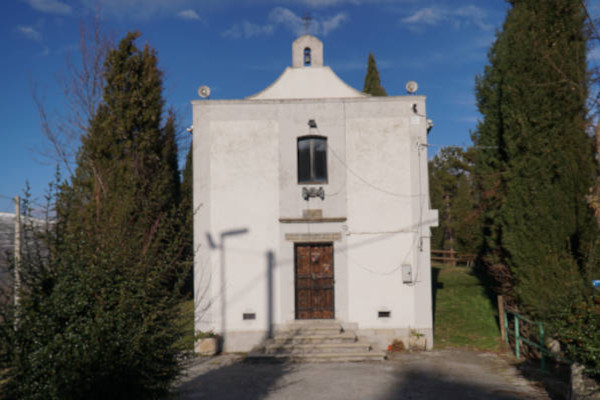
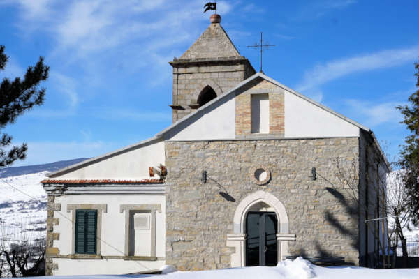
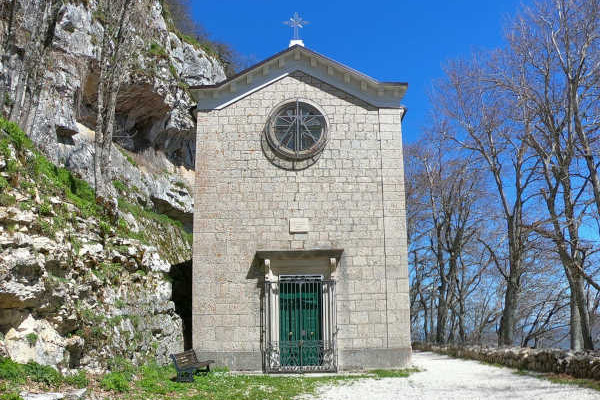
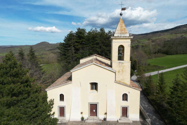
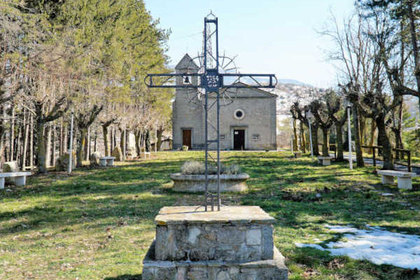
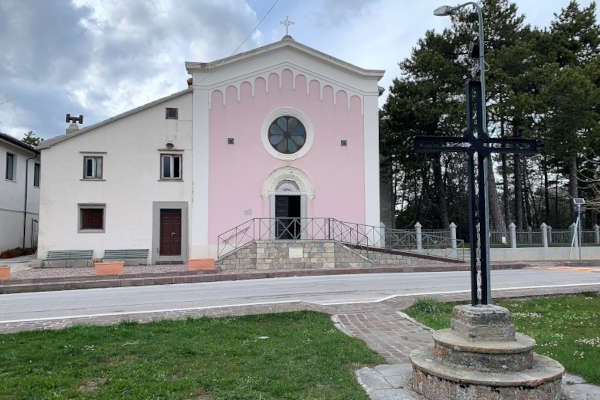
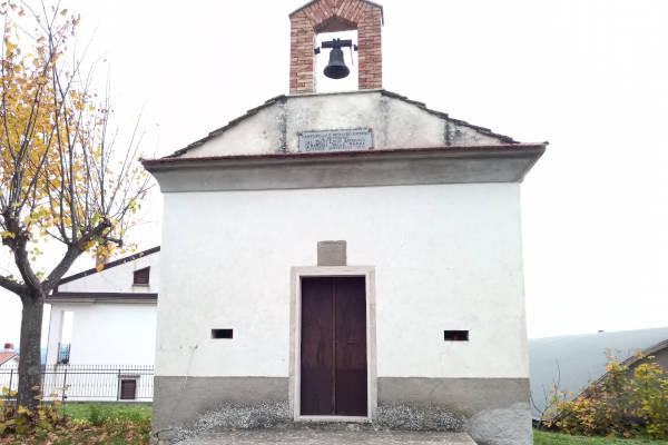
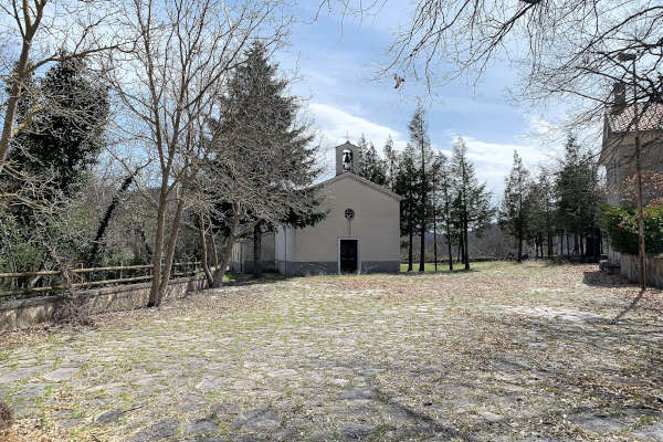
The “Walk of the Country Churches” is an outdoor trail of about 90 kilometers connecting 9 historical centers e 15 small churches scattered throughout the territory of Agnone, Belmonte del Sannio, Capracotta, Castel del Giudice, Castelverrino, Civitanova del Sannio, Pescopennataro, Poggio Sannita e Sant’Angelo del Pesco.
© The Way Of The Country Churches | Project | Credit | Privacy Policy | Cookie Policy | Contact
INITIATIVE FUNDED BY THE FEASR – European Agricultural Fund for Rural Development – PSR Molise Region 2014 – 2020


